If you are interested in purchasing prints, of any of these photographs, please contact: publisher@sptileyphotos.com for a quote. Please specify the gallery title and picture number(s), print size, etc.
These photos were taken in the late 1980's.
They were taken at points from one end of the Island to the other.
That is St. Georges in the east to Somerset in the west.
Please hover over thumbnails for a larger image.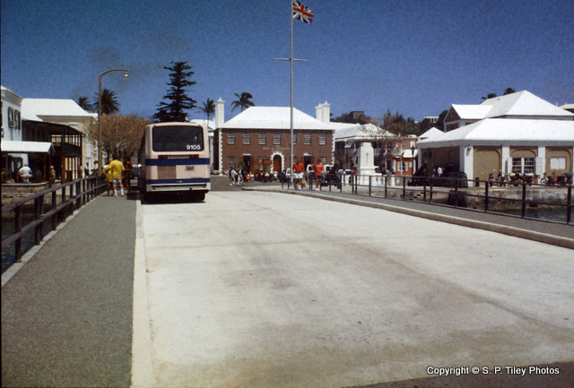
1.
1. Cruise Ship Terminal
St. George's, Bermuda.
Passengers alight here to visit the eastern end of the archipelago.
Which includes St. David's Island and St. George's Island.
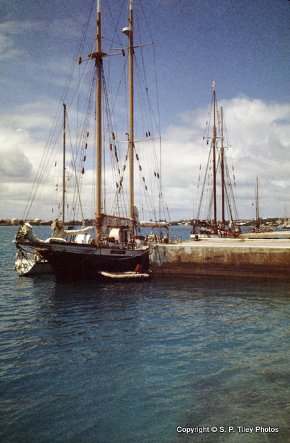
2.
2. St. George's Harbour
St. George's, Bermuda.
Many sailing ships dock in this safe harbour, including ocean going tall ships.
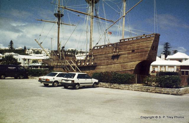
3.
3. The Deliverance
St. George's, Bermuda.
This is a replica of the ship built by Admiral Sir George Somers in 1610, in Bermuda.
The original Deliverance was built from the remains of the Sea Venture, a ship that was part of a fleet of 9 ships forming the Virginia Company of London's 1609 voyage to bring new supplies to the settlers in Jamestown. The Sea Venture, which was the flagship of the voyage, was wrecked on these shores after a violent Atlantic storm.
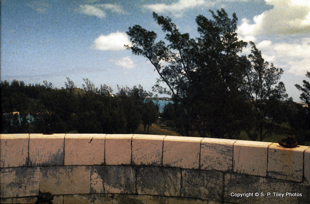
4.
4. View from Ferry Point Forts
Bermuda.
This is the only Martello fort built by the British from 1822-1823 in Bermuda.
It has an ovoid foundation and the walls range up to 11 feet thick. It was built by Major Thomas Blanshard. There are other Martello towers around the world. In Barbuda for instance. On Bermuda there many defensive forts, built by the British from the 1600's, onwards.
5.
5. Old Railway bridge pilings to Coney Island
St. George's, Bermuda.
Viewed Ferry Point Forts, a Martello Tower.
There was a 22-mile railway in Bermuda that operated from 1931 to 1948, during which period cars were banned!
6.
6. Ferry Island; The Causeway; Castle Harbour
St. George's, Bermuda.
Before The Causeway was built, a ferry operated between Coney Island and Ferry Island. This was the only way to reach St. Georges from the main island.
Rumour has it that it used to cost a pound of tobacco a year to use the ferry.
7.
7. Whale Bone Bay
St. George's, Bermuda.
There is a good reef for those interested in snorkeling or diving.
8.
8. Pink sand beach
Bermuda.
Bermuda's pink sand is due the finley pulverised remains of the shells and skeletons of invertebrates. These include corals, clams, forams and others.
This material is all formed from calcium carbonate. Dark red Foraminifera, single cell animals, grow on the underside of the local coral reefs. When they die, the skeletons fall to the ocean floor and become mixed with the white crushed shells, resulting in the pink hue.
9.
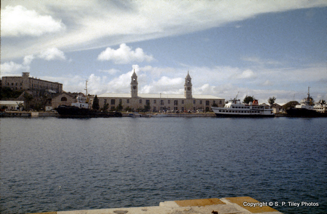
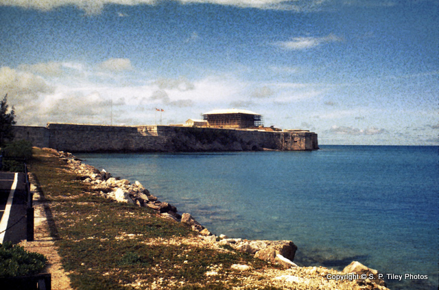
9. King's Wharf Dockyard
Ireland Island, Bermuda.
Originally this was known as the Royal Naval Dockyardr. It was built in 1809, after the Napoleoinc Wars.
It was closed in 1951, and is now a 75 acre site of shops, museums, an art centre and restaurants, and is home to the Bermuda Craft Market. This view shows the Clock Tower Shopping Mall.
10.
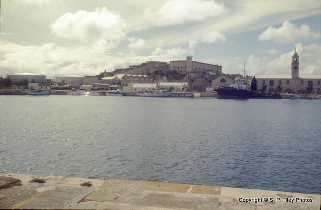
10. King's Wharf Dockyard
Ireland Island, Bermuda.
Originally this was known as the Royal Naval Dockyard. It was built in 1809, after the Napoleoinc Wars.
It was closed in 1951, and is now a 75 acre site of shops, museums, an art centre and restaurants, and is home to the Bermuda Craft Market.
11.
11. Maritime Museum
Kings Wharf Dockyard, Bermuda.
This museum contains exhibits of the islands 500 year-long rich nautical history.
There are many cannons, artifacts from numerous shipwrecks, and the restored Commissioner's House.
12.
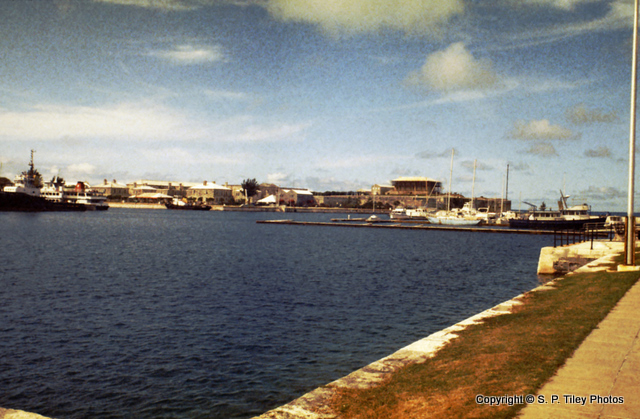
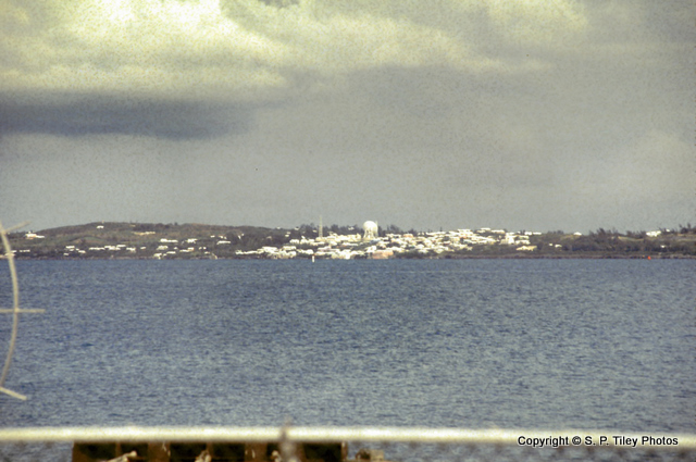
12. View of North Shore
from Ireland Island, Bermuda.
13.
13. Cable & Wireless
Devonshire, Bermuda.
The Islands internation telecommunication facilities all pass through this site in Devonshire.
There are both satellite and undersea cables providing this service, including transatlantic fibre optics.
14.
14. Maritime Museum
Kings Wharf Dockyard, Bermuda.
This museum contains exhibits of the islands 500 year-long rich nautical history.
There are many cannons and artifacts from numerous shipwrecks. In this picture you can see the ongoing restoration of the Commissioner's House.
15.
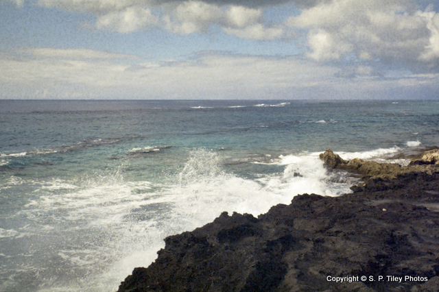
15. South Shore
Bermuda.
16.
16. South Shore
Bermuda.
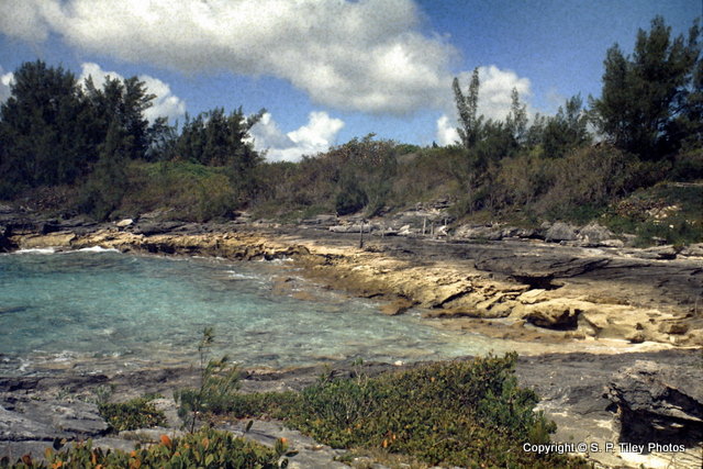
17.
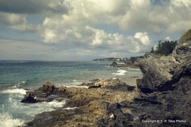
17. Coast near Spittal Pond
Bermuda.
18.
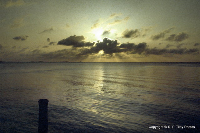
18. Sunset, North Shore
Bermuda.
19.
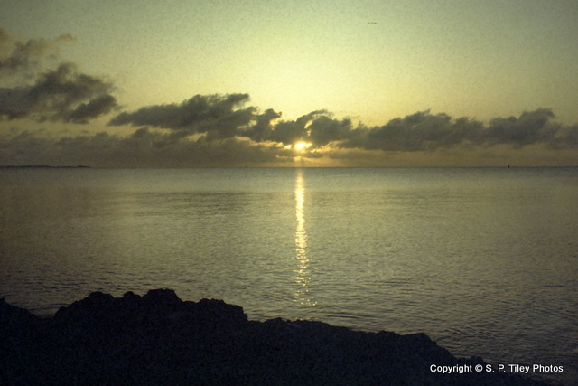
19. Sunset, North Shore
Bermuda.
20.
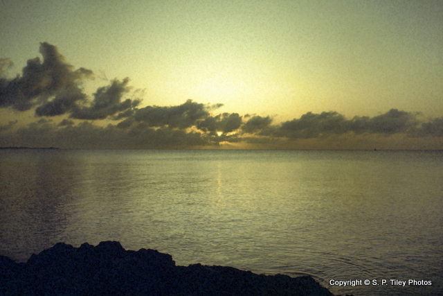
20. Sunset, North Shore
Bermuda.
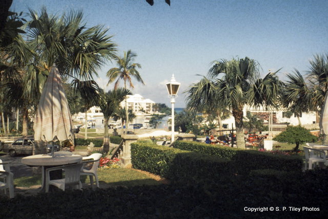
21.
21. Palmetto Bay Hotel
Bermuda.
This hotel was located in Flatts Village, on the edge of Harrington Sound near the Berumda Aquarium.
It has since been replaced.
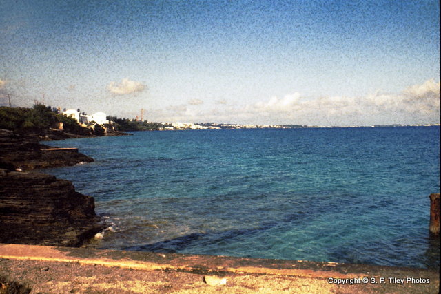
22.
22. North Shore
Bermuda.
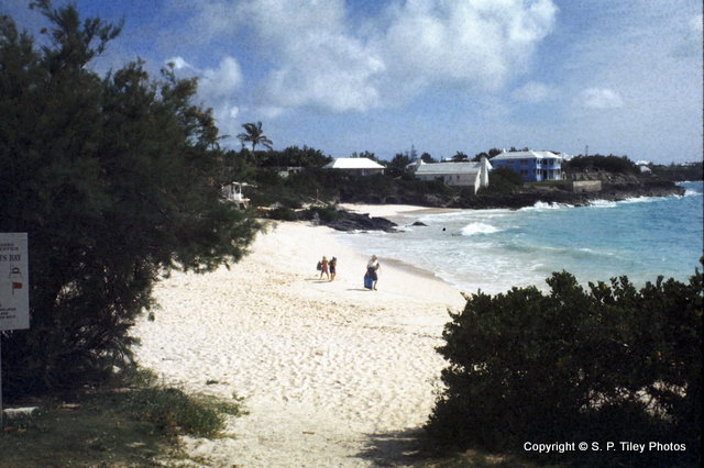
23.
23. John Smith's Bay
Bermuda.
This bay is named after a man who made a map of Bermuda in 1624, yet never set foot on the island!
It is the only public beach in Smith's Parish.
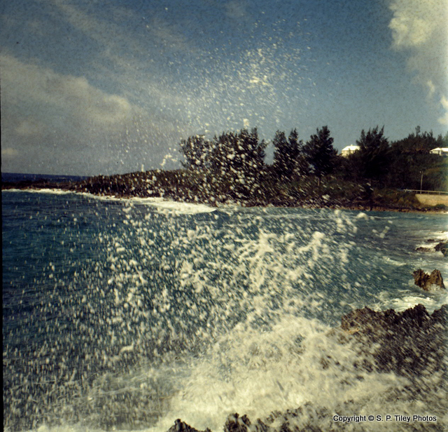
24.
24. Watch Hill Park
Bermuda.
It is located in Smith's Parish, along the South Shore Road.